
Click on the image above to download the lesson.
Description: Students will gain a deeper understanding of our history and geography by analyzing and interpreting primary sources.
Grade level(s): Middle Standards: OAS, GFL Produced By: Teresa Potter

Click on the image above to download the lesson.
Description: Students will gain a deeper understanding of our history and geography by analyzing and interpreting primary sources.
Grade level(s): Middle Standards: OAS, GFL Produced By: Teresa Potter
Click on the image above to download the lesson.
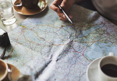
Description:Using the scale from the map key, students will find the approximate air distance between cities on different maps. This skill will enable them to find any distance on a map or globe.
Grade level(s): Middle Standards: OAS, GFL Produced By: Susan Smith

Click on the image above to download the lesson.
Description: Students will understand how latitude and longitude can assist them in finding specific places. They will be able to apply knowledge of location when organizing information about regions and the people who live in them. They will determine what natural resources are available for the people who live in the regions around the rivers, deserts, seas, mountains, and peninsulas being studied.
Grade level(s): Middle Standards: OAS, GFL Produced By: Susan Smith

Click on the image above to download the lesson.
Description: Using longitude and latitude, students will find specific locations on maps and globes. Students will be able to use absolute location to find any specific place on any maps and globes (they include a grid system). When given a list of cities or geographically important locations in North and South America, students will be able to apply knowledge of absolute location to pinpoint their locations.
Grade level(s): Middle Standards: OAS, GFL Produced By: Susan Smith

Click on the image above to download the lesson.
Description: The purpose of this lesson is to help students become independent thinking, readers and writers.
Grade level(s): Middle Standards: OAS, GFL, CC Produced By: Pam Merrill

Description: To provide support structures for students to analyze primary and secondary sources.
Grade level(s): Middle Standards: OAS, GFL Produced By: Tiffany Neill

Click on the image above to download the lesson.
Students will learn to analyze patterns by comparing information through a spatial perspective.
Grade level(s): Middle Standards: OAS, GFL Produced By: Heather Braucher

Click on the image above to download the lesson.
Description: The purpose of this activity is to provide students with a sense of positive interdependence, individual accountability, face-to-face interaction, and whole class participation. This is a review activity where half the class has one part of a pair of cards and the other half of the class has the matching card. The students must change positions to find their match. They can review content and have fun at the same time.
Grade level(s): Middle Standards: OAS, GFL Produced By: Ann Kennedy

Click on the image above to download the lesson. This lesson will open in a Google Drive folder instead of a zipped file due to its size.
Description: This is a collection of lesson plans about geo-skills from the OKAGE 2012 Summer Institute.
Grade level(s): Middle School, High School
Standards: GFL
Produced By: OKAGE

Click on the image above to download the lesson
Description: Physical characteristics associated with ethnic background and cultures develop over time through a process known as natural selection. In this lesson students will explore this process through an activity that simulates the natural selection process in birds. Students will later analyze the physical characteristics of people from various countries by exploring photos from the “Photo of the Day” project from National Geographic.
Grade level(s): Middle Standards: PASS, GFL Produced By: Tiffany Neill

Click on the image above to download the lesson
Description: Students will examine and explore the factors that impact population dynamics including limiting factors such as food, water, and shelter. Students will also examine the role engineers have in addressing limiting factors that impact carrying capacities within a population.
Grade level(s): Middle Standards: PASS, GFL Produced By: Tiffany Neill

Click on the image above to download the lesson
Description: Students may encounter differences in cultures through the course of their lives, but they may not fully recognize how cultures develop. Some cultures share characteristics while some aspects about a culture are distinctly different. Through this lesson students will explore the processes that influence cultural characteristics. Students will also have an opportunity to explore and present cultures connected to their own families and backgrounds.
Grade level(s): Middle Standards: PASS, GFL Produced By: Tiffany Neill
Click on the image above to download the lesson
Description: 7th Grade World Geography CRT Review from the OKAGE World Geography Academies, Session III, 2011.
Grade level(s): Middle Produced By: OKAGE with permission of Shirley Starkey, Social Studies Education Coordinator

Click on the image above to download the lesson
Description: In this lesson, students will learn to analyze a population pyramid - a unique and interesting type of graph which shows the age and gender distribution in a given nation, state, or city
Grade level(s): Middle Standards: PASS, GFL Produced By: Janet Hall

Click on the image above to download the lesson
Description: The purpose of this lesson is to assist students with their mental mapping. In this lesson students must place countries with the continents to which they belong.
Grade level(s): Middle Standards: PASS, GFL Produced By: Helen Chaney-Hackney

Click on the image above to download the lesson
Description: Helping students understand the complexities of cause-effect relationships in contemporary world geography is best accomplished through the modeling and creation of graphic organizers which reflect such relationships in easily understood, visual ways. Using a scaffolding approach to introduce and reinforce such geographic concepts, such as “human- environment interaction,” (HEI) is an effective learning experience that can be applied to any regional study of the western or eastern hemispheres. The on-going practice in interpreting teacher-created and developing student-created visual graphic organizers, as well as kinesthetically manipulating the basic components of HEI relationships into a “desktop” graphic organizer, reinforces students’ abilities to identify the “causes” versus “effects” of geographic conditions.
Grade level(s): Middle Standards: PASS, GFL Produced By: Pam Merrill

Click on the image above to download the lesson
Description: The purpose of this lesson is to help students calculate the population density of countries in Europe and create a color map accordingly.
Grade level(s): Middle Standards: PASS, GFL Produced By: Traci Ketchum

Click on the image above to download the lesson
Description: The purpose of this lesson is to help students demonstrate an understanding of the interconnectedness of global issues using a kinesthetic exercise.
Grade level(s): Middle Standards: PASS, GFL Produced By: Traci Ketchum
Click on the image above to download the lesson
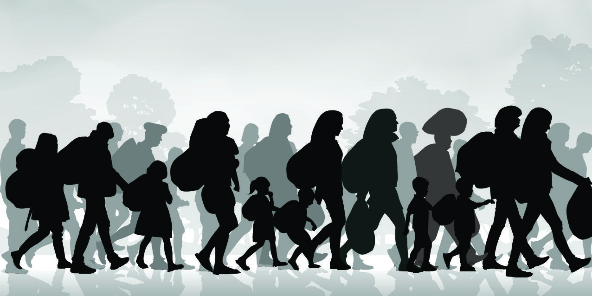
Description: In this lesson, students learn about push factors and pull factors of immigration/emigration.
Grade level(s): Middle Standards: PASS, GFL Produced By: Janet Hall

Click on the image above to download the lesson
Description: Students will be able to apply cultural characteristics to a graphic novel with a storyline which has a logical beginning and end.
Grade level(s): Middle Standards: PASS, GFL Produced By: Heather Braucher