
Click on the image above to download the lesson
Description: Students learn about latitude and longitude through fun, interactive classroom games.
Grade level(s): Middle Standards: PASS, GFL Produced By: Janet Hall

Click on the image above to download the lesson
Description: Students learn about latitude and longitude through fun, interactive classroom games.
Grade level(s): Middle Standards: PASS, GFL Produced By: Janet Hall

Click on the image above to download the lesson. This lesson will open in a Google Drive folder instead of a zipped file due to its size.
Description: The Geography Basics Institute lesson plans cover a variety of topics. This document contains the following lesson plans:
Part Two:
Exploring the Gulf Coast in the Aftermath of Hurricane Katrina - Page 1
Tsunami: Catching the Ultimate Wave - Page 17
What Are the Colors of Your State? - Page 29
Great Circles, Small Circles, and Distance - Page 37
What is Earth Science? What is Geography? - Page 47
Moisture: Using a Psychrometer - Page 57
Albedo - Page 63
Pressure & Wind - Page 69
As Far As the Eye Can See: Exercises in Remote Sensing - Page 77
5 Themes of Geography - Page 93
Geographical Journey of Lewis and Clark - Page 101
Where In the World Am I? - Page 107
Population Thematic Maps - Page 110
Push-Pull Factors - Page 115
Latitude and Longitude Shape Africa - Page 125
South America Map It - Page 132
Mental Mapping Africa and Europe - Page 138
A Quarter’s Back Lesson - Page 144
In Between Geography - Page 147
Windows - Page 162
Windmills Around the World - Page 165
Interpreting the United States at Night - Page 171
Stand Up and Be Counted - Page 175
Mental Mapping - Page 181
Place and Poetry - Page 185
Tear the Continents - Page 189
3D Geobooks - Page 192
Let’s Go Caribbean - Page 197
Jamestown Virginia - Page 201
Geography of Normandy - Page 209
Alphabetize Germany - Page 216
Country in a Box - Page 222
Cultural Symbols: Our Scenic World - Page 227
Worldwide Conflict and War - Page 231
Using Photographs to Teach Geography - Page 233
The World is a Colorful Place - Page 239
Grade level(s): Middle School
Standards: PASS, GFL
Produced By: Marco Micozzi and Glenda Sullivan.

Click on the image above to download the lesson. This lesson will open in a Google Drive folder instead of a zipped file due to its size.
Description: The Geography Basics Institute lesson plans cover a variety of topics. This document contains the following lesson plans:
Part One:
What is Earth Science? - Page 1
Exercises in Remote Sensing - Page 13
Pressure & Wind - Page 29
Albedo - Page 37
Moisture - Page 43
Land & Water Contrasts - Page 55
Great Circles, Small Circles, and Distance - Page 67
Exploring the Gulf Coast in the Aftermath of Hurricane Katrina - Page 79
5 Themes of Geography - Page 103
Where In The World Am I?- Page 111
Alphabetize Germany - Page 117
Country in a Box - Page 124
3-D Geobooks - Page 129
Let’s go Caribbean - Page 134
Jamestown Virginia - Page 141
The World is a Colorful Place - Page 149
Using Photographs to Teach Geography - Page 152
Cultural Symbols, Our Creative World - Page 158
Worldwide Conflict and War - Page 163
Geography of Normandy - Page 165
Mental Mapping Africa and Europe - Page 172
South America Map It - Page 178
Latitude and Longitude Shape Africa - Page 183
Push-Pull Factors - Page 189
Population Thematic Maps - Page 199
Geographical Journey of Lewis and Clark - Page 205
Land & Water Contrasts - Page 255
Geology of the Wichita Mountains - Page 267
Grade level(s): Middle School
Standards: PASS, GFL
Produced By: Marco Micozzi, Glenda Sullivan, Dr. John Hogan, and Dr. M. Charles Gilbert

Click on the image above to download the lesson. This lesson will open in a Google Drive folder instead of a zipped file due to its size.
Description: This collection of lesson plans covers topics about China and teaching English in China.
Grade level(s): Middle School
Standards: OAS, GFL
Produced By: John J. Katana

Click on the image above to download the lesson.
Description: The Geography Teacher Training Institute lesson plans cover a variety of topics. This document contains the following lesson plans:
Land and Sea - Page 2
Using Photographs to Teach Geography - Page 7
3-D Geo Books - Page 16
Design an Island in an Oklahoma Lake - Page 22
In Between Geography - Page 28
The 5 Themes of Geography - Page 35
Where There’s Light, There are people - Page 37
Locate with Latitude and Longitude - Page 43
Bent’s Fort: Landmark of the American Frontier - Page 56
Revolutionary War Game - Page 69
“Got It Made” With Maps - Page 76
Grade level(s): Middle School
Standards: PASS, GFL
Produced By: Glenda Sullivan, Jeanie Sisson, and Paula Haight.

Click on the image above to download the lesson. This lesson will open in a Google Drive folder instead of a zipped file due to its size.
Description: The Geography Basics Institute lesson plans cover a variety of topics. This document contains the following lesson plans:
Tear the Continents - Page 1
Cacao or Cocoa Both Spell Chocolate - Page 4
Using Photographs to Teach Geography - Page 13
As Far As the Eye Can See: Exercises in Remote Sensing - Page 41
Mental Mapping - Page 56
Geography of Normandy - Page 61
Country on a Powerpoint - Page 68
Country in a Box - Page 74
Latitude and Longitude Shape Africa - Page 80
South America, Map It - Page 88
Jamestown Virginia - Page 95
Tsunami: Catching the Ultimate Wave - Page 104
Pressure and Wind - Page 113
Windmills All Around the World - Page 140
What is Earth Science? What is Geography? - Page 163
Look! You’re Wearing Geography - Page 173
Wichita Field Experience - Page 186
Land and Water Contrasts - Page 194
Albedo - Page 206
From Ptolemy’s World to Apollo 17 - Page 212
Contour Lines and Elevation - Page 218
Windows - Page 231
Push-Pull Factors - Page 235
Interpreting North America at Night - Page 259
Design an Island - Page 264
Stand Up and Be Counted - Page 269
Choropleth Mapping: The Changing Oklahoma Population - Page 289
The Geographical Journey of Lewis and Clark - Page 293
Great Circles, Small Circles, and Distance - Page 302
Place and Poetry - Page 310
Grade level(s): Middle School, High School
Standards: PASS, GFL
Produced By: Glenda Sullivan and Marco Micozzi.

Click on the image above to download the lesson.
Description: Students will learn about Oklahoma astronauts and strengthen geographic skills through the use of maps, direction, key, legend, map symbols, and scale.
Grade level(s): Middle School
Standards: PASS, GFL
Produced By: Pat Smith
Click on the image above to download the lesson.
Description: This lesson plan reviews and strengthens students’ geographic skills. Students will learn to identify, evaluate, and draw conclusions from different kinds of maps, aerial and space photographs, atlases, and computer based technologies. Students can develop use of mental mapping to organize and construct land forms.
Grade level(s): Middle School
Standards: PASS, GFL
Produced By: Pat Smith

Click on the image above to download the lesson.
Description: The World Geography Academy lesson plans cover a variety of topics. This document contains the following lesson plans:
Solve Earth Shaking Dilemmas with Geographic Solutions - Page 14
In Between Geography - Page 18
Man and the Mississippi - Page 23
The Changing Face of Germany 1871-2005 - Page 28
Let’s Go Caribbean - Page 37
Alphabetize Germany - Page 42
Geography of Normandy - Page 49
Food For Thought - Page 55
Images to Ponder - Page 64
How Blows the Wind? - Page 70
Natural Resources in Developing Countries Using the Conservation Pledge - Page 90
Land & Sea - Page 101
Cultural Symbols Our Scenic World - Page 104
Latitude and Longitude Shape Africa - Page 110
Design an Island - Page 124
South Africa: The Land - Page 129
Illustrated Geographic Dictionary - Page 131
Orographic Gold: Teaching the Rain Shadow - Page 135
Population by Numbers - Page 139
Conflict and Cooperation - Page 143
World Neighbors - Page 157
Grade level(s): Middle School
Standards: PASS, GFL
Produced By: William Amburn, Glenda Sullivan, Brenda Runkle, Bob Ehrle, Patricia Anduss, Charlsie Allen, Teresa Begley, Jennifer Babb, and Carrie Hill.

Click on the image above to download the lesson. This lesson will open in a Google Drive folder instead of a zipped file due to its size.
Description: The World Geography Academy lesson plans cover a variety of topics. This document contains the following lesson plans:
Country in a Box - Page 1
A Summer Day - Page 7
Climate Graphs and Deductive Reasoning - Page 14
Tectonic Plates: The Shaping of the Land, Japan - Page 26
Testing Strategies and Teaching Strategies - Page 33
Population by the Numbers - Page 37
On My Next Vacation I’m Going to… - Page 44
The Silk Road - Page 47
South America, Map It - Page 53
Windmills All Around the World - Page 62
Country on Powerpoint - Page 70
Worth Your Weight in Gold - Page 81
What On Earth, or Water, Is That? - Page 88
Regional Scavenger Hunt - Page 93
Picasso Geography - Page 98
Freehand Map of Africa - Page 101
Climate Graphs and Deductive Reasoning - Page 105
Grade level(s): Middle School, High School
Standards: PASS, GFL
Produced By: Patricia M. Anduss, Jacci Lackey, Bill Amburn, Bob Ehrle, Glenda Sullivan, Jayne Marley, and Catherine Stoner.

Click on the image above to download the lesson. This lesson will open in a Google Drive folder instead of a zipped file due to its size
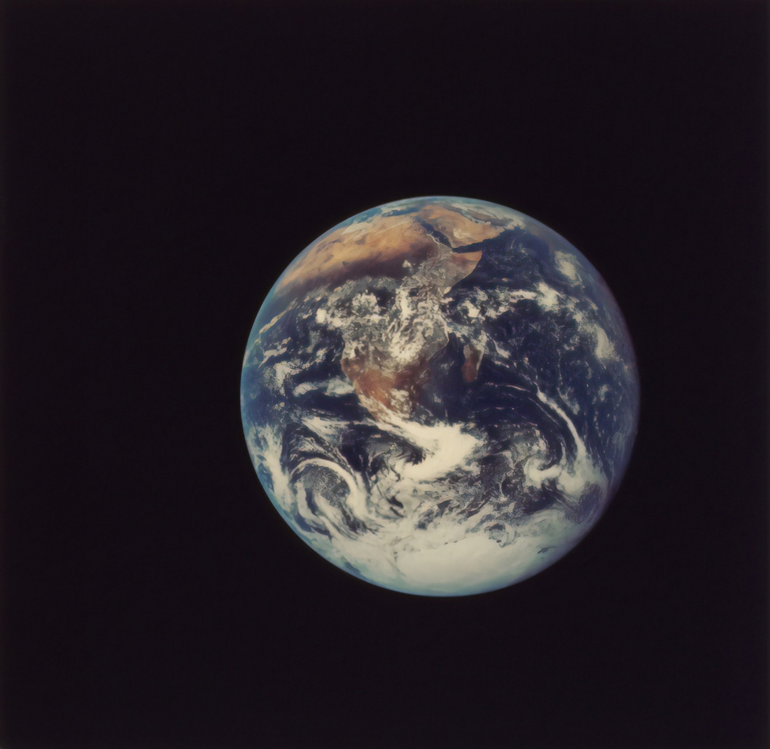
Description: Photographs of the earth are an excellent medium to teach geography, to interest students in geography, and to provide linkages between geography and math/science. Satellite imagery of the earth is, also, an excellent tool for teaching geography. Since students relate much better to photography of their own area, this project begins with photography of Oklahoma and then expands that knowledge to the world. Therefore, the lessons and photos in this book are thematic and can be applied anywhere in the world. An introduction is given in basic cartography, and how to interpret topographic maps, urban and landform patterns from aerial photography, and satellite images, followed by a section on shuttle photography.
Grade level(s): Middle School
Standards: PASS, GFL
Produced By: Dr. Kamlesh P. Lulla and Kim Willis

Click on the image above to download the lesson. This lesson will open in a Google Drive folder instead of a zipped file due to its size.
Description: Photographs of the earth are an excellent medium to teach geography, to interest students in geography, and to provide linkages between geography and math/science. Satellite imagery of the earth is, also, an excellent tool for teaching geography. Shuttle photography is a vastly unexplored resource for many educators, this resource is geared to help students use maps and images of all kinds in the classroom. The goal of this resource is to help students start analyzing and asking questions about what they are seeing, to help them see patterns in the photographs, and to develop a curiosity in them to want to know why these patterns exist.
Grade level(s): Middle School
Standards: PASS, GFL
Produced By: Rebecca W. Scott