2005

Geography Basics Institute 2005 Lessons

Click on the image above to download the lesson. This lesson will open in a Google Drive folder instead of a zipped file due to its size.

Click on the image above to download the lesson. This lesson will open in a Google Drive folder instead of a zipped file due to its size.

Description: The Geography Basics Institute lesson plans cover a variety of topics. This document contains the following lesson plans:

  • Tear the Continents - Page 1

  • Cacao or Cocoa Both Spell Chocolate - Page 4

  • Using Photographs to Teach Geography - Page 13

  • As Far As the Eye Can See: Exercises in Remote Sensing - Page 41

  • Mental Mapping - Page 56

  • Geography of Normandy - Page 61

  • Country on a Powerpoint - Page 68

  • Country in a Box - Page 74

  • Latitude and Longitude Shape Africa - Page 80

  • South America, Map It - Page 88

  • Jamestown Virginia - Page 95

  • Tsunami: Catching the Ultimate Wave - Page 104

  • Pressure and Wind - Page 113

  • Windmills All Around the World - Page 140

  • What is Earth Science? What is Geography? - Page 163

  • Look! You’re Wearing Geography - Page 173

  • Wichita Field Experience - Page 186

  • Land and Water Contrasts - Page 194

  • Albedo - Page 206

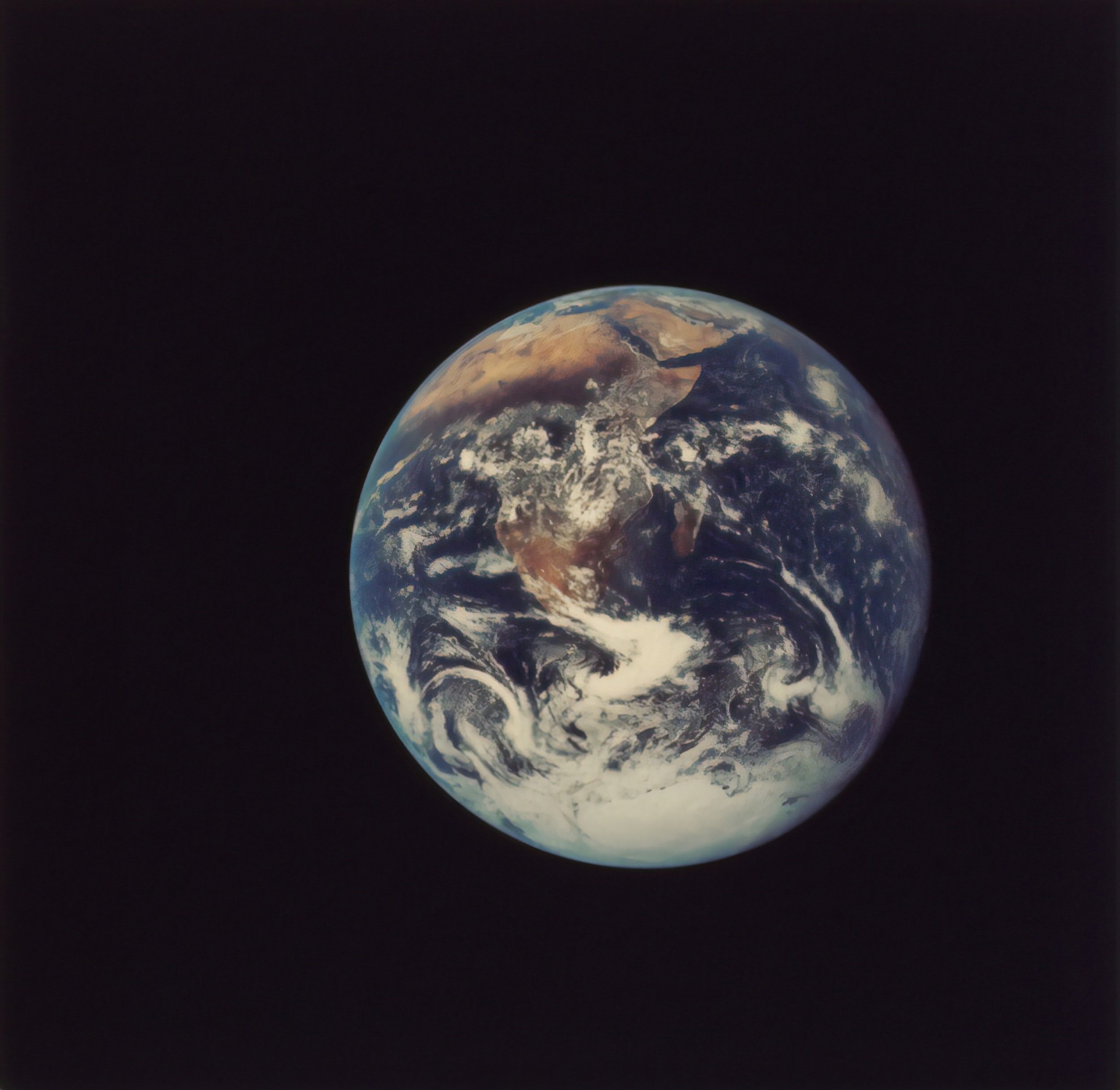
  • From Ptolemy’s World to Apollo 17 - Page 212

  • Contour Lines and Elevation - Page 218

  • Windows - Page 231

  • Push-Pull Factors - Page 235

  • Interpreting North America at Night - Page 259

  • Design an Island - Page 264

  • Stand Up and Be Counted - Page 269

  • Choropleth Mapping: The Changing Oklahoma Population - Page 289

  • The Geographical Journey of Lewis and Clark - Page 293

  • Great Circles, Small Circles, and Distance - Page 302

  • Place and Poetry - Page 310

Grade level(s): Middle School, High School
Standards: PASS, GFL
Produced By: Glenda Sullivan and Marco Micozzi.

Add a Dash of Space Photography to Your Geography

Click on the image above to download the lesson.

Click on the image above to download the lesson.

Description: This lesson plan reviews and strengthens students’ geographic skills. Students will learn to identify, evaluate, and draw conclusions from different kinds of maps, aerial and space photographs, atlases, and computer based technologies. Students can develop use of mental mapping to organize and construct land forms.

Grade level(s): Middle School
Standards: PASS, GFL
Produced By: Pat Smith

World Geography Academy 2005

Click on the image above to download the lesson.

Click on the image above to download the lesson.

Description: The World Geography Academy lesson plans cover a variety of topics. This document contains the following lesson plans:

  • Solve Earth Shaking Dilemmas with Geographic Solutions - Page 14

  • In Between Geography - Page 18

  • Man and the Mississippi - Page 23

  • The Changing Face of Germany 1871-2005 - Page 28

  • Let’s Go Caribbean - Page 37

  • Alphabetize Germany - Page 42

  • Geography of Normandy - Page 49

  • Food For Thought - Page 55

  • Images to Ponder - Page 64

  • How Blows the Wind? - Page 70

  • Natural Resources in Developing Countries Using the Conservation Pledge - Page 90

  • Land & Sea - Page 101

  • Cultural Symbols Our Scenic World - Page 104

  • Latitude and Longitude Shape Africa - Page 110

  • Design an Island - Page 124

  • South Africa: The Land - Page 129

  • Illustrated Geographic Dictionary - Page 131

  • Orographic Gold: Teaching the Rain Shadow - Page 135

  • Population by Numbers - Page 139

  • Conflict and Cooperation - Page 143

  • World Neighbors - Page 157

Grade level(s): Middle School
Standards: PASS, GFL
Produced By: William Amburn, Glenda Sullivan, Brenda Runkle, Bob Ehrle, Patricia Anduss, Charlsie Allen, Teresa Begley, Jennifer Babb, and Carrie Hill.